On May 26, China Earthquake Administration (CEA) released the research units involved in the 6.4 magnitude earthquake of Yangbi, Yunnan and the 7.4 magnitude earthquake of Mado, Qinghai. The University of Science and Technology of China (USTC) was on the list for deploying its self-developed 4G real-time earthquake monitoring system in Yangbi, Yunnan.
At 21:48 pm on May 21, a 6.4 magnitude earthquake struck Yangbi County, Dali Prefecture, Yunnan Province, killing 3 people, injuring 28, and damaging more than 13,000 houses. In the following days, hundreds of aftershocks occurred one after another, including several strong aftershocks of magnitude 4 or higher, causing great economic losses and social impacts to the local area.
On the afternoon of May 24, 15 sets of 4G intelligent seismographs led by the geophysics team of USTC were shipped to the earthquake zone to serve the aftershock monitoring. With the assistance of Yunnan Provincial Seismological Bureau (YPSB), all devices were set up and operated independently on May 26.
The smart seismometer was jointly developed by three professors, LI Junlun, YAO Huajian and WANG Baoshan from the School of Earth and Space Sciences of USTC, and with Hefei Guowei Electronics Co., Ltd.
Waveform data were transmitted back to the artificial intelligence real-time earthquake analysis platform developed by Prof. LI Junlun's team through 4G wireless network for real-time aftershock localization and magnitude analysis. The velocity model used for earthquake localization was the public velocity model for Sichuan and Yunnan regions (version 1.0) developed by Prof. YAO Huajian's team. And Prof. WANG Baoshan was responsible for the site selection and network coordination of the station array.
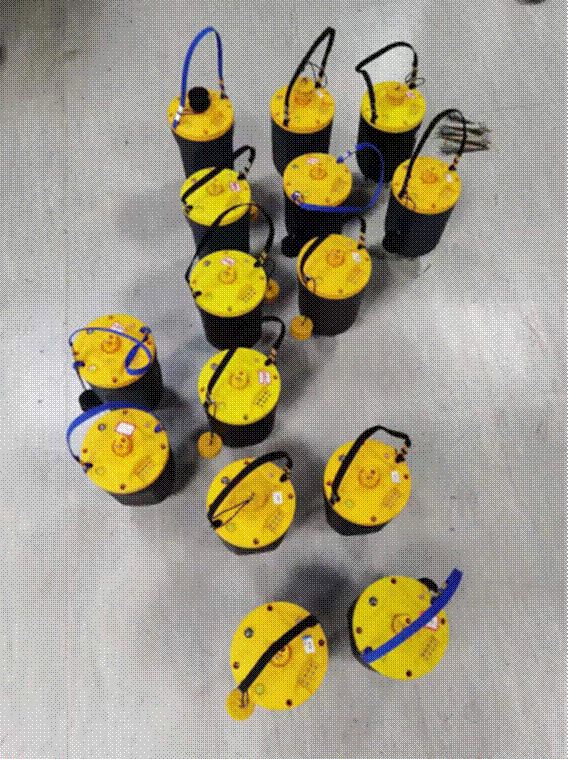
Real-time 4G transmission node type intelligent seismograph (Image by School of Earth and Space Sciences )
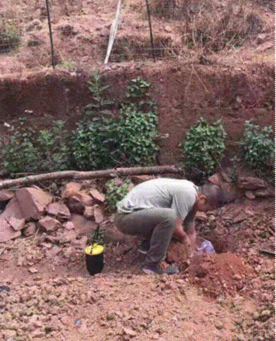
Preparing to bury 4G smart seismographs in the field (Image by School of Earth and Space Sciences)
This is the first time that the integrated hardware and software system is applied to real-time aftershock monitoring of a large earthquake.
On May 27 alone, 371 earthquakes were monitored by the earthquake real-time intelligent monitoring system consisting of the 4G smart seismograph and the earthquake real-time analysis platform, 7% more than the manual processing results of the national fixed station network during the same period.
By 17:00 on May 28, the system had automatically detected and located 830 earthquakes, of which the minimum magnitude was 2 and the maximum was 4.1. The data recorded by the 4G smart seismometer and the processing results of the seismic real-time analysis platform were shared in real time to the YPSB and other units.

Real-time intelligent earthquake monitoring system web feedback interface (Image by School of Earth and Space Sciences)

Version 1.0 public velocity model for aftershock localization in Sichuan and Yunnan (Image by School of Earth and Space Sciences)
The self-developed 4G intelligent seismograph and its monitoring system significantly improve the efficiency of earthquake monitoring, making it more effective in serving earthquake trend analysis and disaster judgment. It has been highly evaluated by YPSB for its stable performance and reliable results, and it is also paid close attention to by CEA.
Catering to the major needs of the natural disaster risk prevention, the system will continue to play an important role in China's earthquake monitoring, disaster relief and safeguarding people's lives and properties in the future.
(Written by Tu Bingxin, edited by JIANG Pengcen, USTC News Center)